2 pm
Things (in my area anyway) have noticeably let up. Light snow should continue with occasional heavier periods of snow possible. According to the latest models, 1-3″ is possible based upon your location. I don’t see anything conclusive that could be a leftover, but you never know. The latest surface map was as of 11 am. The low at that time was slightly west of us and in a negative tilt. It isn’t visible on satellite from 30 minutes ago, so who knows if the map is correct.

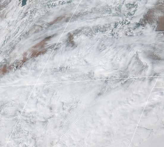
Here is the most current satellite, it still looks pretty socked-in to our west.
The water vapor imagery shows plenty of moisture all around us for the low pressure to tap into, depending on its track. To me, this would be the source of the surprise finish if we got one. I am not saying we will, I am just saying that is a lot of moisture to leave in place. The green is wet yellow is drier. Not a lot yellow.

BTW, does anyone want to this all over again in a couple of days? It is not off the table that we have something roll in Monday into Tuesday. According to the models at the moment, we should have the same temp profiles but with a little more moisture to work with.
Snow picking up again on 550 at mile marker 46 across from Schoolhouse 2 miles south of Purg.
Richard F. Jacobs Durango, Colorado 512-785-4211
>
At mm109 US Hwy 160, Deer Valley Estates, 8″+ measured so far on our picnic table out in open with a yardstick. It is still coming down.